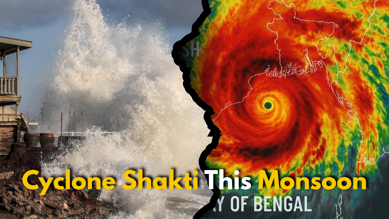

Cyclone Shakti: As the southwest monsoon progresses this week, heavy to extremely heavy rainfall is predicted for portions of India on Wednesday, May 14.
The southwest monsoon moved into portions of the Nicobar Islands, the south Andaman Sea, the south Bay of Bengal, and certain regions of the north Andaman Sea on Tuesday, according to the India Meteorological Department.
IMD Response:
IMD officials say the monsoon flow is developing strongly this year. One official noted, “It has already reached the Andaman Sea and parts of the South Bay. This marks the first entry point as far as monitoring the Southwest Monsoon is concerned.”
Reports also indicate that the monsoon may reach Kerala by May 27, earlier than the usual onset date of June 1. Typically, the monsoon covers all of India by July 8, begins retreating from northwest India by September 17, and fully withdraws by October 15.
Cyclone Shakti:
On Wednesday, May 14, the IMD reported that “The upper air cyclonic circulation over Andaman Sea between 1.5 & 7.6 km above mean sea level tilting southwestwards with height persists.”
Meteorologists define a “Cyclonic Circulation” as any low-pressure system linked to atmospheric wind flow at upper levels. The potential cyclone could impact West Bengal, Bangladesh, and Odisha. Preliminary estimates indicate that if the cyclone forms, it may affect coastal areas of West Bengal and Odisha in India, along with Khulna and Chattogram in Bangladesh. However, experts have not yet determined the cyclone’s exact path and strength.
Also Read: India Denies Trump’s Role in Ceasefire with Pakistan