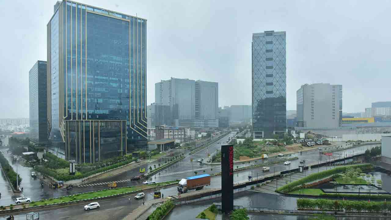

Red Alert for Telangana: According to the prognostic signals of the India Meteorological Department, rainfall of high intensity might affect certain parts of Telangana. It is reputed that by 24 July to 26 July, most of the districts will experience heavy rainfall, thunderstorms, and wind at gusty speeds. On such an alert, the residents and local authorities would be advised to strictly remain in readiness for sudden weather changes.
The entirety of the northern and eastern districts has been marked for hazard zones: Adilabad, Karimnagar, Bhadradri Kothagudem, Warangal, and Mulugu. In Hyderabad, areas include Jubilee Hills, Khairatabad, Gachibowli, and Tolichowki. Which have already reported waterlogging and slow-moving traffic due to continued rainfall. These urban pockets are likely to be prone even in the coming days.
In anticipation of the forecast, the Telangana government put NDRF and SDRF teams on standby. The officials conducted an inspection of vulnerable sites across Hyderabad and other cities around the state. One hundred forty-one waterlogging hotspots are under special continuous monitoring. While emergency teams are set to evacuate should there be such need.
To implement disaster response protocols and ensure the safety of the public, the Chief Minister A. Revanth Reddy has issued instructions to the district collectors. Civic agencies are ramping up maintenance of drainage to mitigate incidences of flooding in urban areas.
Penetrable winds of 30–50 km/h would lash areas and would be followed by frequent lightning strikes; hence, advising the following for citizens:
Avoid traveling through flood zones
Stay indoors during heavy rain and during thunderstorm warnings
Keep abreast of the status directly from the weather bulletins through the official emergency services
Also Read: Top 7 Rain-Loving Plants Perfect for the Monsoon Season
Just like the present period, however, the overall monsoon condition in Telangana is lying below averages by 10-20%. Mainly in Hyderabad and nearby districts. So, meteorologist views say that these low-pressure systems forming in the Bay of Bengal tend to bring areas into a heavy rainfall spell by the beginning of August.