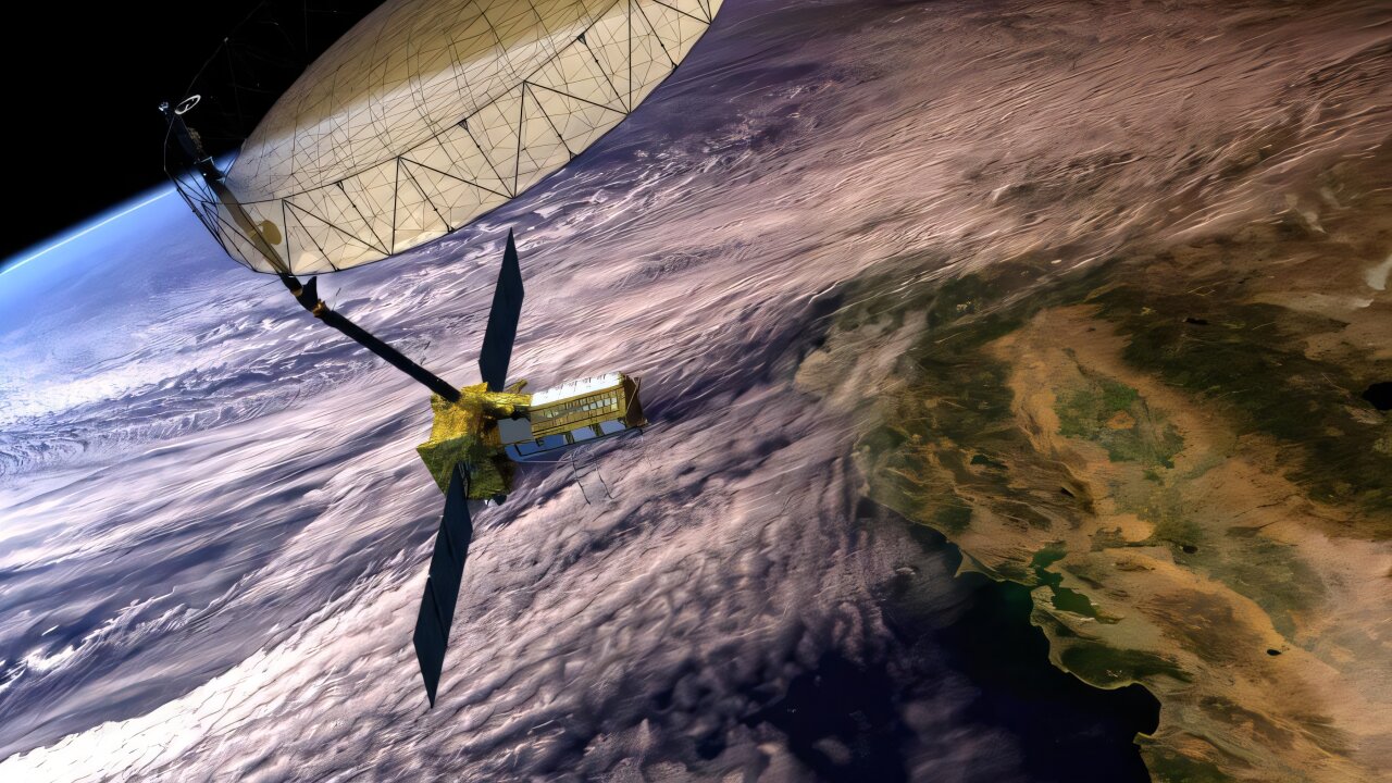

India is set to make space history today as the country launches its most advanced Earth-observation satellite NISAR, jointly developed with NASA. The landmark mission, valued at over $1.5 billion, positions India at the forefront of global climate and disaster monitoring, with cutting-edge radar technology and open-access data that will benefit not just India but the entire world.
NISAR, weighing 2,392 kg, is the world’s first major Earth-observing satellite to operate with dual synthetic aperture radar frequencies NASA’s L-band (1.257 GHz) and ISRO’s S-band (3.2 GHz).
This powerful combination will allow scientists to observe the Earth’s surface with unmatched precision. The L-band penetrates dense vegetation and soil to detect subsurface changes, while the S-band scans surface details like crop patterns and water bodies.
Built over ten years, with a budget exceeding $1.5 billion, NISAR features a 12-meter gold mesh antenna the largest radar reflector in low-Earth orbit. It’s integrated into ISRO’s I-3K spacecraft bus, which supplies 4 kW of solar power and handles all satellite operations.
After launch, NISAR will enter a 747 km sun-synchronous polar orbit with a 98.4° inclination. The satellite will undergo 90 days of in-orbit checkout (IOC) before beginning full scientific operations.
NISAR will use SweepSAR technology to scan a 242 km-wide swath of the Earth’s surface. It will revisit every region every 12 days, delivering high-resolution, all-weather, day-and-night imaging. The satellite will capture critical changes in the Earth’s ecosystems, vegetation, groundwater, forest cover, glaciers, and sea levels. It will also detect subtle surface movements, supporting disaster risk mitigation.
All radar data from NISAR will be freely available to users around the world. According to NASA’s Jet Propulsion Laboratory, the data will be uploaded to a public archive within hours of processing. NISAR will monitor earthquakes, volcanoes, tsunamis, landslides, and glacier lake outburst floods (GLOFs). It can measure ground motion with millimeter-level accuracy, making it a vital tool for monitoring seismic zones like the Himalayas.
Also Read Param Sundari First Single Pardesiya Out: Good To Listen But Cringe to Watch?
NISAR marks a historic milestone in US-India space collaboration. The mission will provide critical insights into climate change, support disaster preparedness, and help governments plan resilient infrastructure.